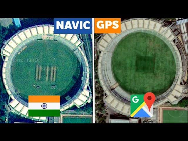
GPS and NavIC are both satellite navigation systems that provide positioning, navigation, and timing services. However, there are some key differences between the two systems.
- Coverage: GPS is a global navigation system, while NavIC is a regional navigation system that is primarily designed for use in India and the surrounding region.
- Accuracy: GPS is generally more accurate than NavIC, with a typical accuracy of 20 meters. NavIC has an accuracy of 5-10 meters in its primary service area, which is India.
- Signal strength: GPS satellites are located in a lower orbit than NavIC satellites, which means that GPS signals have a stronger signal strength. This can be an advantage in areas with heavy tree cover or other obstacles that can block GPS signals.
- Cost: GPS is a more mature technology than NavIC, which means that GPS receivers are typically less expensive.
Overall, GPS is a more accurate and reliable navigation system than NavIC. However, NavIC is a good option for users who need to navigate in areas with heavy tree cover or other obstacles that can block GPS signals.
Here is a table that summarizes the key differences between GPS and NavIC:
| Feature | GPS | NavIC |
|---|---|---|
| Coverage | Global | Regional (India and surrounding region) |
| Accuracy | 20 meters | 5-10 meters (in primary service area) |
| Signal strength | Stronger | Weaker |
| Cost | Less expensive | More expensive |
Additional Information
- Navigation with Indian Constellation (NavIC): NavIC is an independent regional navigation satellite system developed by the Indian Space Research Organisation (ISRO). NavIC is designed to provide positioning, navigation, and timing services to users in India and the surrounding region. NavIC is also known as GAGAN (GPS Aided Geo Augmented Navigation).
- Global Positioning System (GPS): GPS is a global navigation satellite system developed by the United States Department of Defense. GPS is designed to provide positioning, navigation, and timing services to users around the world. GPS is the most widely used navigation satellite system in the world.

