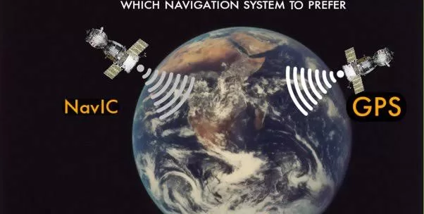
India’s NavIC satellites offer 3-meter positioning accuracy, according to ISRO chairman S. Somanath. This means that users of NavIC-enabled devices can expect to be within 3 meters of their actual location. This is significantly better than the accuracy of other navigation systems, such as the Global Positioning System (GPS), which typically has an accuracy of 10 meters.
NavIC is a regional navigation satellite system developed by ISRO. It is designed to provide positioning, navigation, and timing services to users in India and the Indian Ocean region. NavIC is a dual-frequency system, which means that it uses two different frequencies to transmit signals. This allows NavIC to provide better accuracy and reliability than other navigation systems.

NavIC is already being used by a variety of users, including the Indian armed forces, the Indian Coast Guard, and the Indian railways. It is also being used by commercial entities, such as taxi companies and fleet management companies.
The Indian government has plans to make NavIC available for civilian use in mobile devices. This would make NavIC a more affordable and accessible option for users.
Here are some of the benefits of using NavIC:
- Improved accuracy: NavIC offers 3-meter positioning accuracy, which is significantly better than the accuracy of other navigation systems.
- Better reliability: NavIC is a dual-frequency system, which makes it more reliable than other navigation systems.
- Wider coverage: NavIC can provide positioning, navigation, and timing services to users in India and the Indian Ocean region.
- Lower cost: NavIC is expected to be more affordable than other navigation systems.
Overall, NavIC is a promising new navigation system that has the potential to revolutionize the way we navigate the world.

